
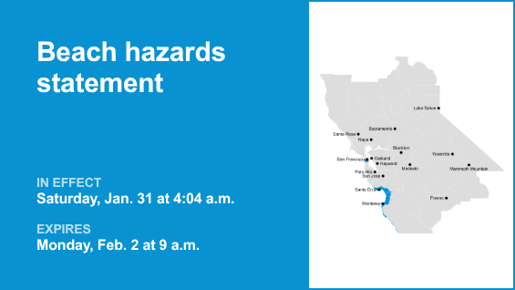
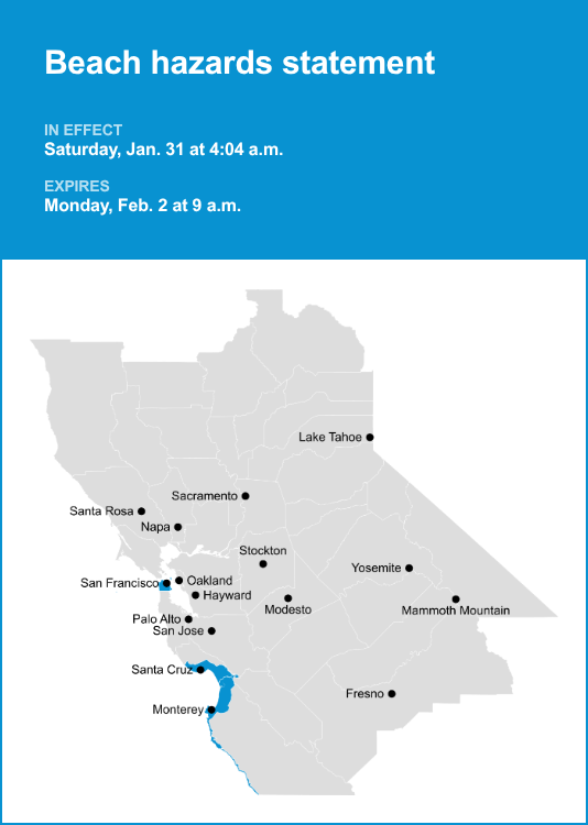
Northern Monterey Bay and Southern Monterey Bay and Big Sur Coast as well as San Francisco County are included in a beach hazards statement released by the National Weather Service on Saturday at 4:04 a.m. The statement is in effect until Monday Feb. 2, at 9 a.m.
“An increased risk of sneaker waves and strong rip currents with breaking waves of 14 to 19 feet,” can be expected according to the NWS San Francisco CA. “At the San Francisco tidal gauge, high tide is expected to be: 1.3 ft above normal (7.20 ft MLLW) at 9:30 a.m. Saturday 1/31 and 1.2 ft above normal (6.96 ft MLLW) at 10:22 a.m. Sunday 2/1. These predictions include up to 0.3 ft of storm surge from an incoming moderate to long period swell that will enhance the astronomical tide and flooding threat. High tide timing varies up to 90 minutes earlier or later along the Pacific Coast and through the San Francisco Bay, respectively.”
“Flooding of lots, parks, and roads with only isolated road closures expected. Dangerous conditions are forecast along the shoreline. Hazards include sneaker waves, strong rip currents, and large breaking waves,” according to the NWS. “If travel is required, allow extra time as some roads may be closed. Do not drive around barricades or through water of unknown depth. Take the necessary actions to protect flood-prone property. Stay off of jetties, piers, rocks, and other waterside infrastructure. Remain out of the water to avoid hazardous surf and NEVER turn your back on the ocean.”
For more weather alerts in the Bay Area, visit Weather Advisories
The Mercury News


Leave a Reply